
Resilient Processes
The Estuary is adapted to change. The processes that move water, energy, nutrients, and sediment are part of the regular cycles of tides and seasons. When these processes function well, the Estuary is resilient to disturbances from floods, sea level rise, and erosion.
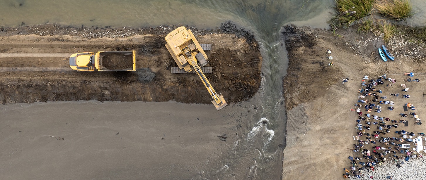

A levee is breached as part of a tidal restoration project at Lookout Slough. This restoration project created new tidal habitat for fish and wildlife while simultaneously enhancing flood storage and resilience of the area. Xavier Mascareñas, California Department of Water Resources (2024).
Adaptive Processes Sustain People and Nature

Processes such as floods, sediment deposition, and marsh migration support habitats and wildlife that can adapt, ensuring ecosystems can evolve and thrive despite environmental challenges. Landscape features such as wetlands, farmland, and open space, that support or can accommodate resilient processes, can help protect shorelines from erosion, and create the beautiful recreational spaces that define the Estuary.
By taking an integrated approach to ecosystem restoration—including both the revitalization of natural landscapes and steps to mitigate subsidence—we can achieve a cascade of interconnected benefits.
Indicators
Resilient Processes

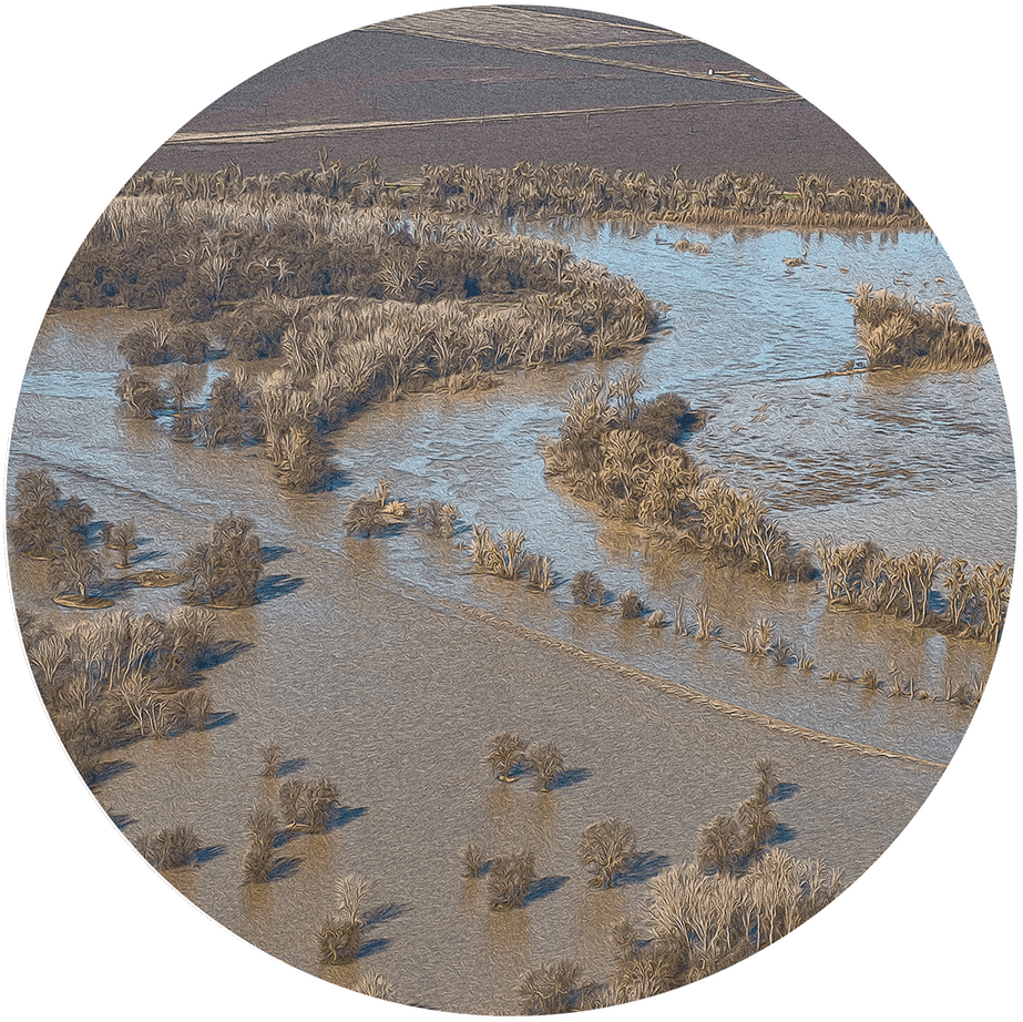
Beneficial Floods
Measures the extent to which freshwater flows create seasonal floodplain habitat upstream of the Delta and low-salinity habitat in the Bay

Migration Space
Measures the amount of protected and undeveloped uplands where tidal habitats can shift inland as sea levels rise (Under development)
Sediment
Tracks sediment supply to existing and restored baylands from natural and engineered sources within San Francisco Bay (Under development)

Soft Shores
Measures the type and distribution of land cover along the shoreline, with undeveloped land ranked as softest
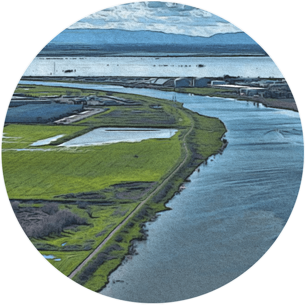
Subsided Lands
Tracks land area in the Estuary that has sunk below historical elevation levels and land management practices that reverse or halt the subsidence process
Process-Based Restoration is Critical for Resilience
Restoring the historical landscape, plants, and animals is not enough to ensure an ecosystem can last. The processes that allow ecosystems to function and maintain themselves over time must also be restored. These processes provide food, habitat, and protection for people and wildlife. If we fail to address continued subsidence, shrinking marshes, and hardening shorelines, we will see greater storm damage to communities, less recreational space along our shores, and significant habitat loss.
Finding ways to accommodate these ecosystem-sustaining processes in the urban, agricultural, industrial, and open landscapes surrounding the Estuary will be a challenge, and time is short. If we can surmount these challenges and continue to integrate resilient processes into restoration, our Estuary will be more likely to adapt and thrive in the face of long-term change.