
Reporting on the Health of the San Francisco Estuary
A hub for tracking the environmental health of the San Francisco Bay and Sacramento-San Joaquin Delta since 2015, grounded in scientific knowledge contributed by regional experts


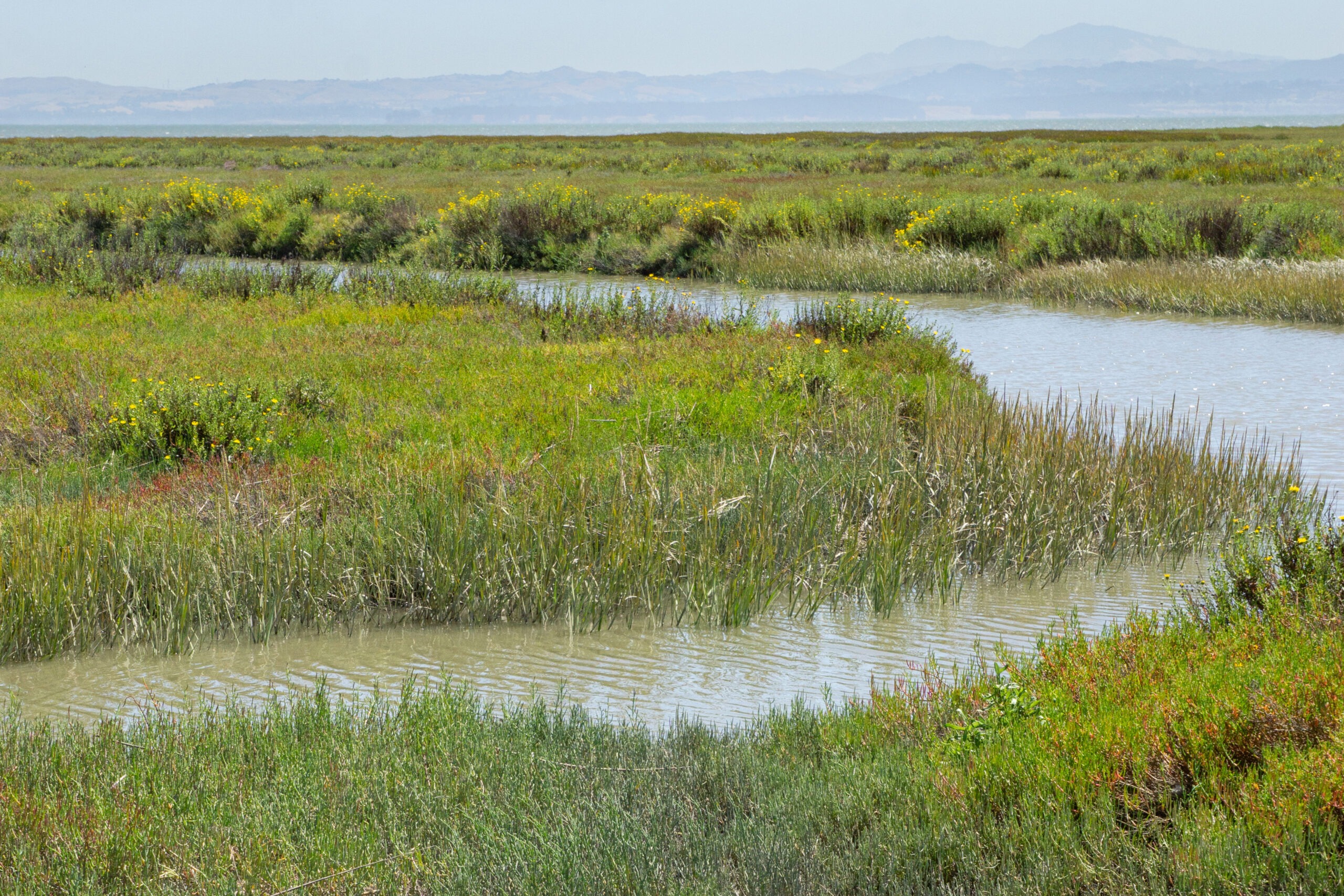
Hayward Regional Shoreline, looking toward San Francisco Bay. SFEI.
How Healthy is the Estuary?
A healthy Estuary supports thriving habitats, wildlife, and communities. It sustains natural processes like water and sediment transport, ensures clean water, and provides many benefits to people. For indicators where the path to improvement is clear and managers have taken action, results are visible. The best example of this is in the restoration of tidal marshes and rebounding populations of tidal marsh birds. But for other indicators, solutions are physically difficult to implement, or they pose social and economic tradeoffs.
A high-level look at the Status & Trend Scorecard shows most Bay indicators are in Fair condition and stable, while most Delta indicators are in Poor condition and declining. But closer examination reveals bright spots of progress, showing that a healthier, more resilient ecosystem is possible. For more details, explore the individual indicator pages, the Scorecard, or download the 2025 Executive Summary.
Tidal marsh. Ben Botkin, SFEP.

Wetland restoration projects are increasing the amount of tidal marsh in the Estuary, providing support for native wildlife and benefits for people.

Song Sparrow.
Bird densities are increasing for two species associated with tidal marshes, suggesting that restoration efforts are boosting their populations.

American Wigeon.
Shorebirds are declining across the Bay, while wintering waterfowl populations are improving in some regions of the Bay and declining in others.
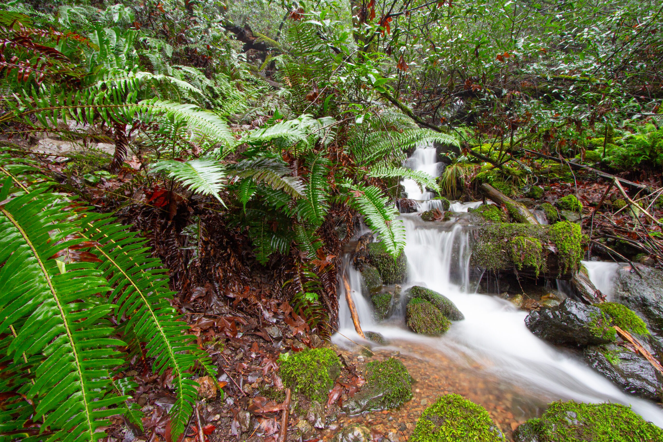
Freshwater stream. Ben Botkin, SFEP.
Less freshwater flows through the Estuary because an increasing proportion of inflows is diverted, causing problems for open water habitat.
Beneficial flooding in the Delta. Carson Jeffres, UC Davis.

A school of anchovies.
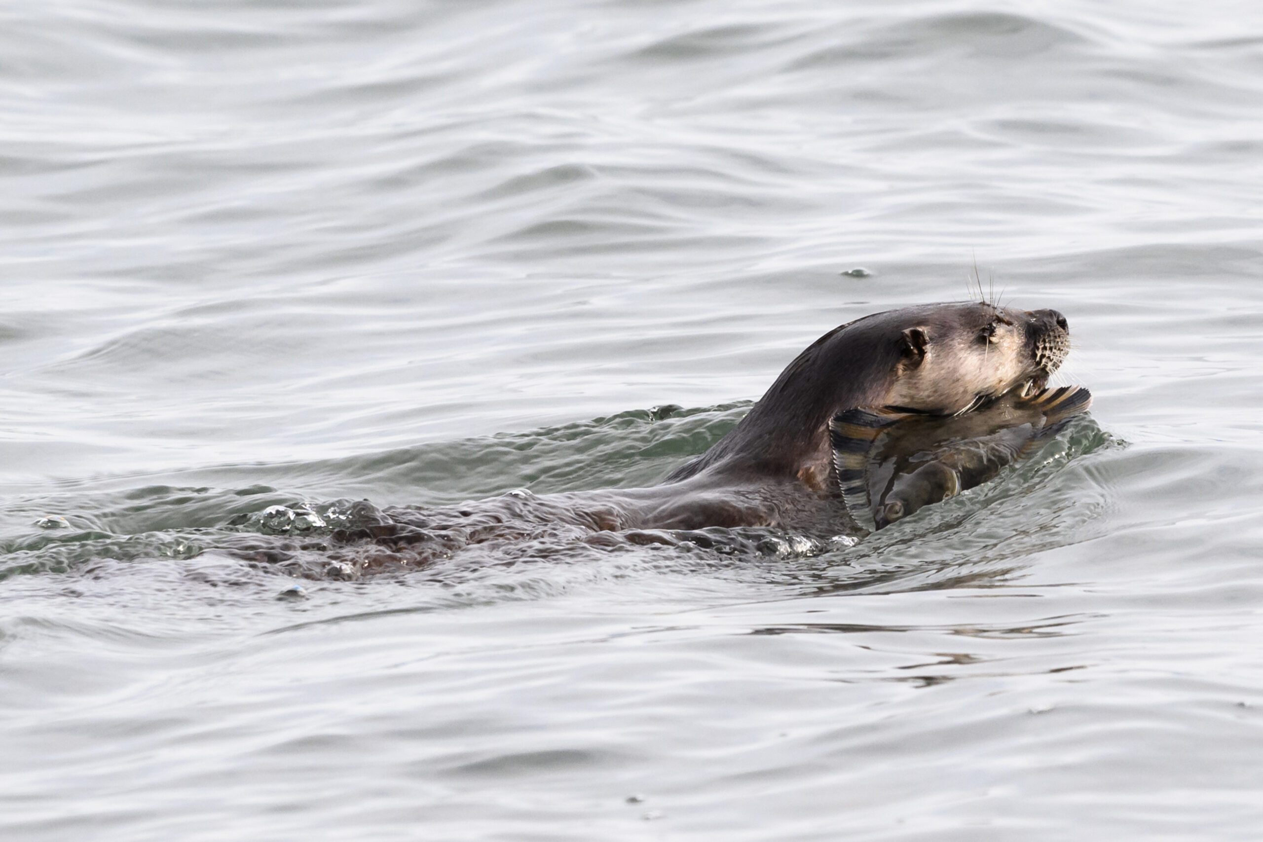
A river otter with a starry flounder.
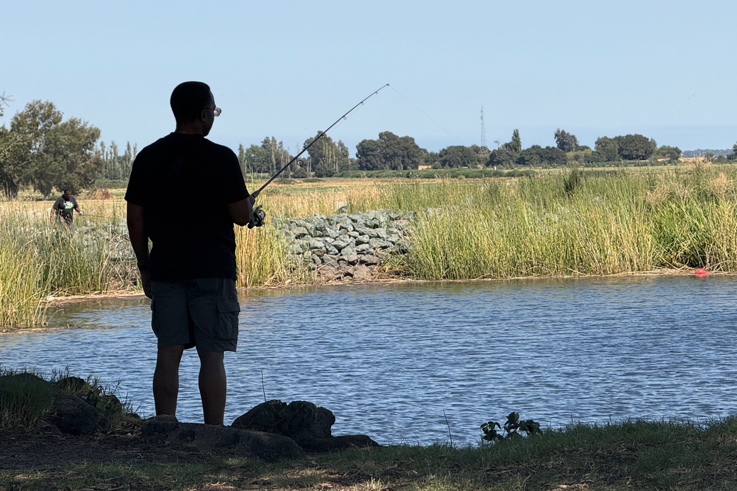
A person fishing in the Delta. Mark Jones, MTC.

People swimming in the Bay. Shira Bezalel, SFEI.
Water quality at most Bay beaches is safe for swimming; however, a few San Mateo County beaches have dangerous levels of bacterial contamination.
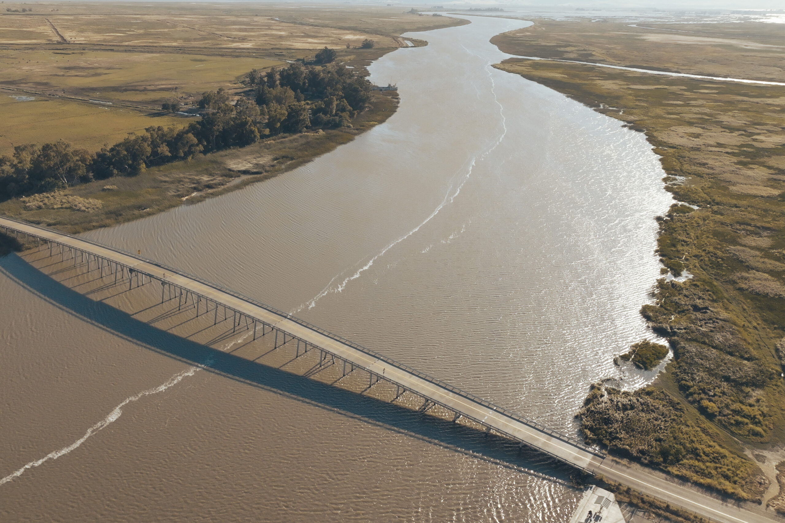
Aerial view of the Petaluma River. Mark Jones, MTC.
The South Bay and Suisun are in better condition than the rest of the Estuary regarding shore softness, with open space and duck clubs fronted by intertidal features that help absorb wave energy.
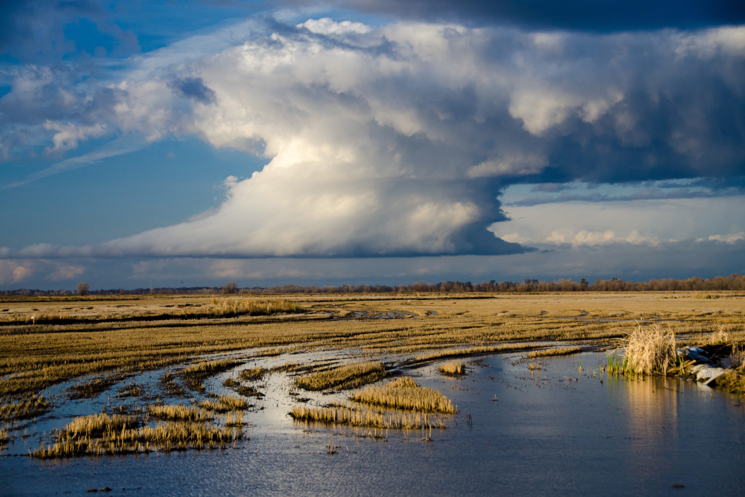
Farmland in the Delta.
Large areas of subsided lands exist in the Delta and to a lesser extent in the Bay, limiting land use and increasing flood risk.
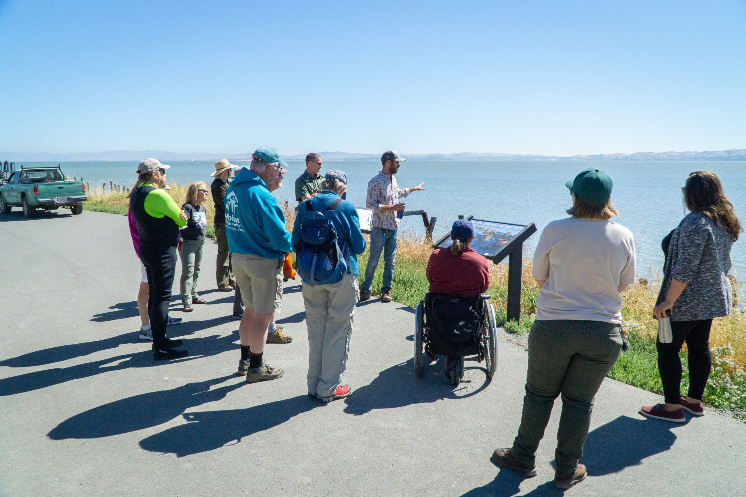
People learning about the shoreline. Ben Botkin, SFEP.
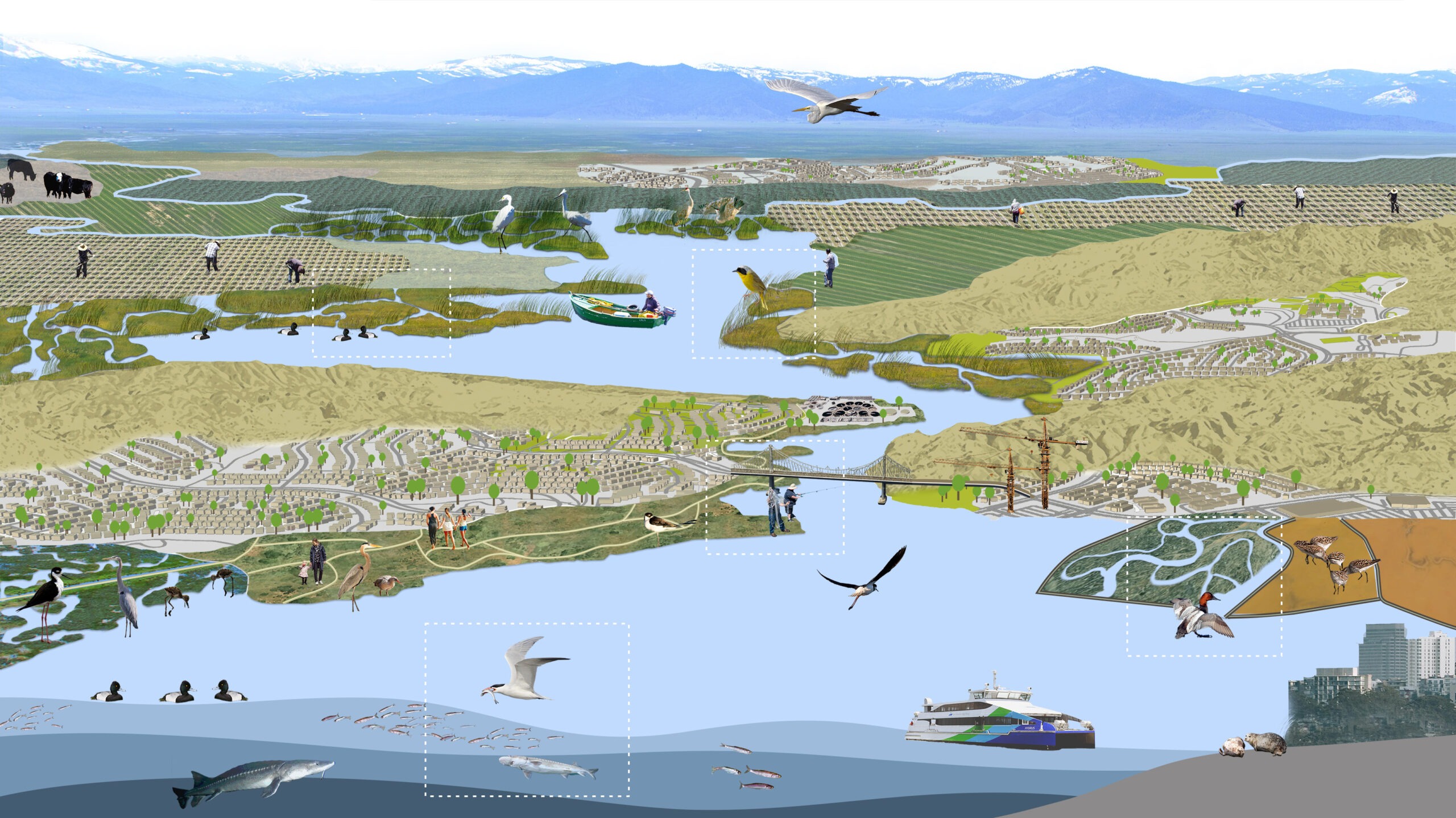
Everything in the Estuary is Connected
Estuaries are among the most interconnected ecosystems on Earth—places where rivers, tides, sediments, wildlife, and people all come together. The San Francisco Estuary was formed where seawater from the Pacific Ocean meets freshwater from the Sacramento and San Joaquin Rivers, along with hundreds of other rivers and creeks. Its shoreline supports a remarkable number of species, making this region both unique and vital. These baylands—the lands touched by the tides—are not only central to the Estuary’s iconic beauty, but they also provide essential benefits: supporting abundant wildlife, improving water quality, offering open space for recreation, and protecting communities from flooding. Click the labels below to learn more about how people, wildlife, and landscapes are linked within Our Estuary.
Planning for a Healthy Estuary
Sustaining and reviving the Estuary will require the commitment of the region’s communities working in tandem with scientists and local, state, and federal government. The Estuary Blueprint is a companion to the State of Our Estuary and serves as a roadmap to foster a sense of stewardship among the region’s residents and restore the Estuary’s chemical, physical, biological, and ecological health. It is one among many regional efforts that use a consensus-based, collaborative process to identify regional priorities and track progress on achieving those goals. View the latest Blueprint and read about some of the other regional efforts in our library of Resources.
The sun sets over waterfront houses in the San Francisco Estuary. Ben Botkin, SFEP.
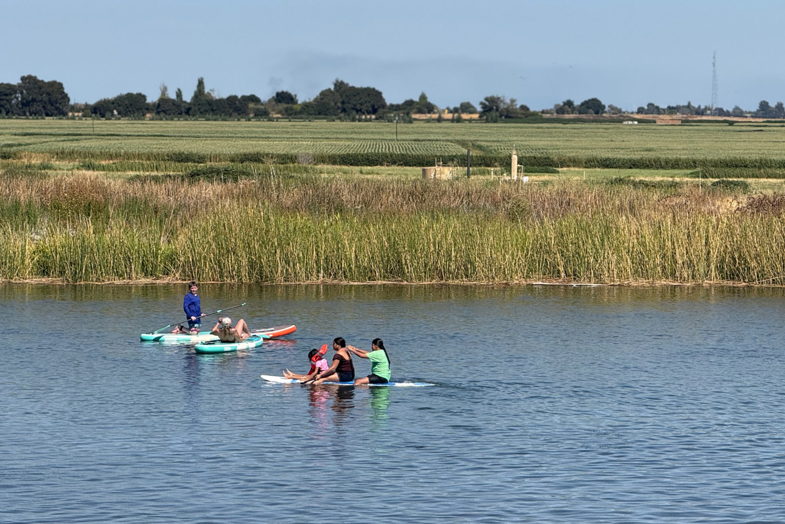
People paddleboard in the freshwater of the Sacramento-San Joaquin Delta. Mark Jones, MTC.
VOICES
Reflections on the Estuary
Voices from around the Estuary remind us of the importance of this unique and vast ecosystem.
“The San Francisco Estuary is an asset to our communities. Being near water makes us more creative, promotes a sense of wellness, and can even ease our minds.”
Maria Katticaran, Architect & Urbanist, HDR
“The San Francisco Estuary is the defining feature of our region. A huge portion of our homes, businesses, rail, highways, electricity, and water infrastructure are located right on the Bay shoreline. A strong, healthy Bay Area economy is impossible without a strong, healthy estuary.”
Adrian Covert, Bay Area Council & SFEP Implementation Committee
Frequently Asked Questions
Need more information about how to navigate this website before you get started?
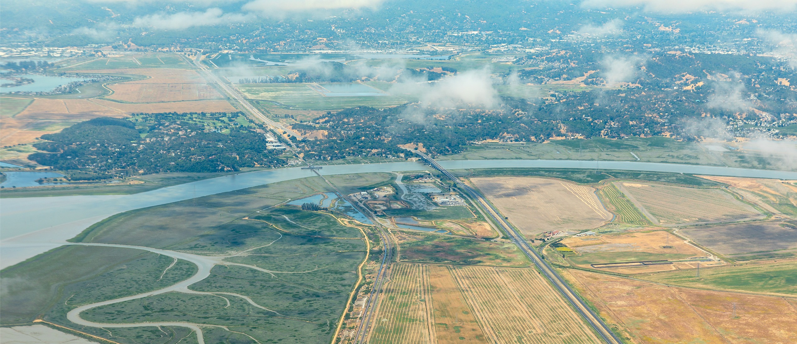
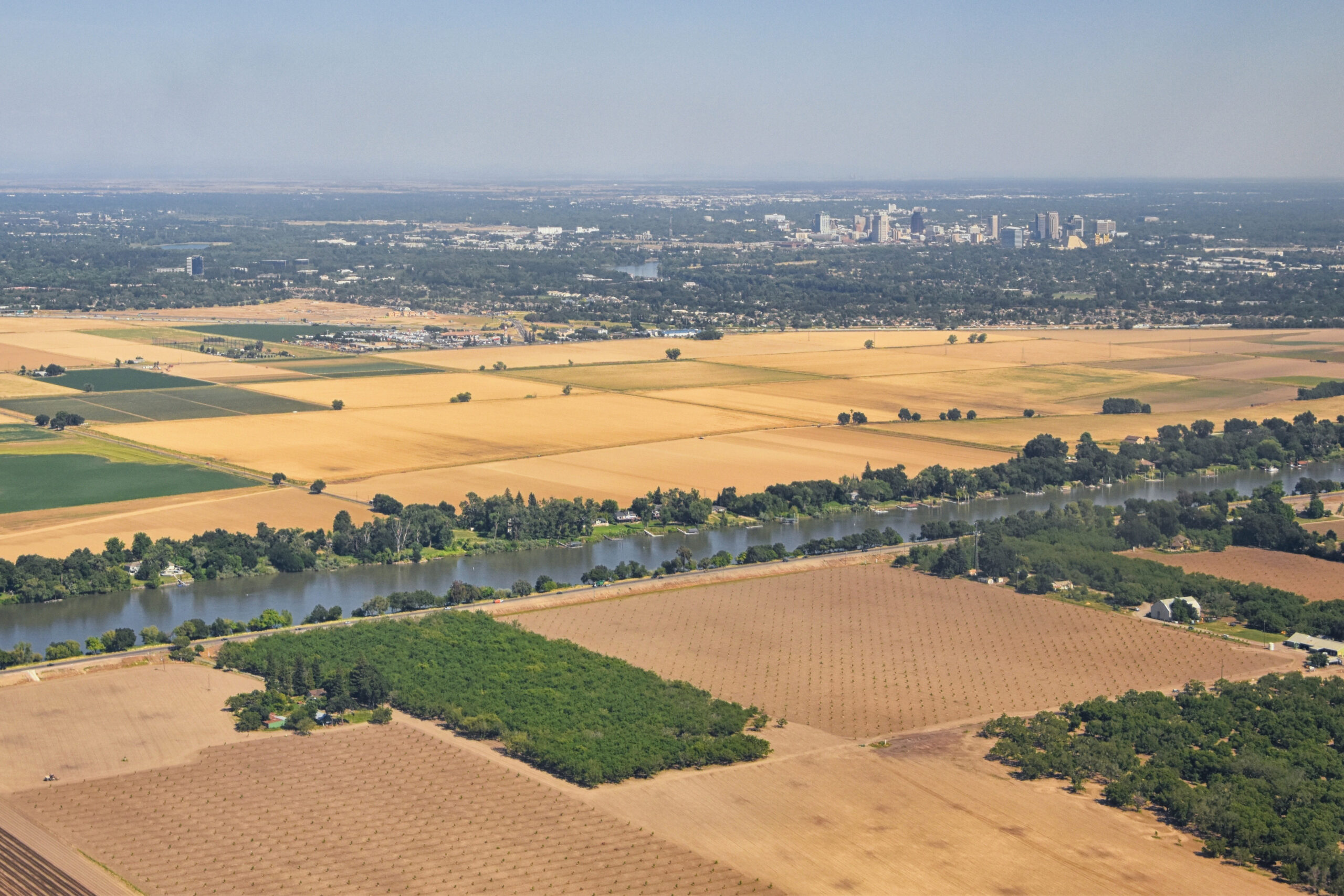
From above, the transition from fertile Delta farmland to the open waters of the San Francisco Estuary reveals the dynamic intersection of land and water.