
Sediment
Tracks sediment supply to existing and restored baylands from natural and engineered sources within San Francisco Bay

Sediment is the Building Block of Tidal Marshes
Partial Update: October 2025

Beneficial reuse is one of the metrics that we will use in developing the Sediment indicator slated for a full Status and Trend scoring in future updates. We aim to compare average percentages of the total volume of dredged sediment beneficially reused for wetland restoration in the Bay to the San Francisco Bay Long Term Management Strategy (LTMS) baselines and targets (USACE et al. 2001).
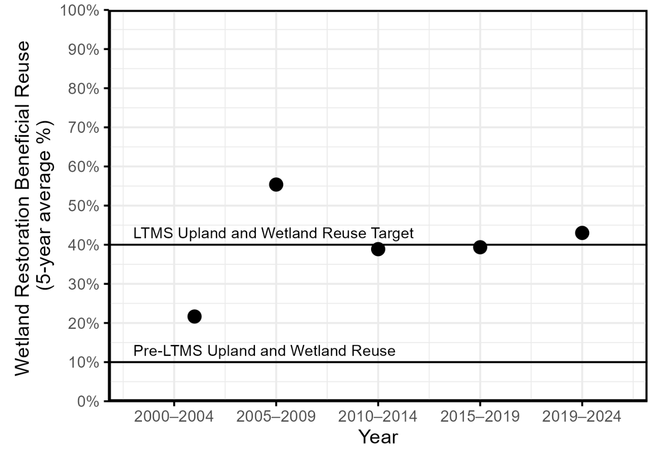
As an example of an approach we aim to take for one metric of this future indicator, this plot shows five-year averages of the percentage of the total volume of dredged sediment beneficially reused for wetland restoration in the Bay (2000-2024; including Suisun Bay), with data obtained from the Bay Adapt Currents Dashboard (BCDC 2025). We aim to compare these averages to the Long Term Management Strategy (LTMS) baseline (10% as the historic reuse percentage prior to the LTMS) and target (40% reuse goal for wetlands and uplands combined; USACE et al. 2001).

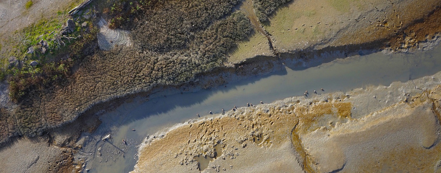

Drone view of a mudflat in San Francisco Bay. Pete Kauhanen, SFEI.
Related Indicators
Resilient Processes Category

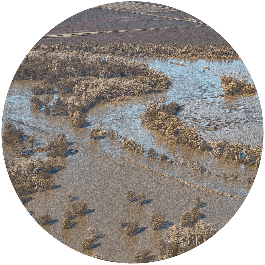
Beneficial Floods
Measures the extent to which freshwater flows create seasonal floodplain habitat upstream of the Delta and low-salinity habitat in the Bay

Migration Space
Measures the amount of protected and undeveloped uplands where tidal habitats can shift inland as sea levels rise (Under development)
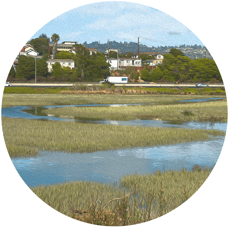
Soft Shores
Measures the type and distribution of land cover along the shoreline, with undeveloped land ranked as softest
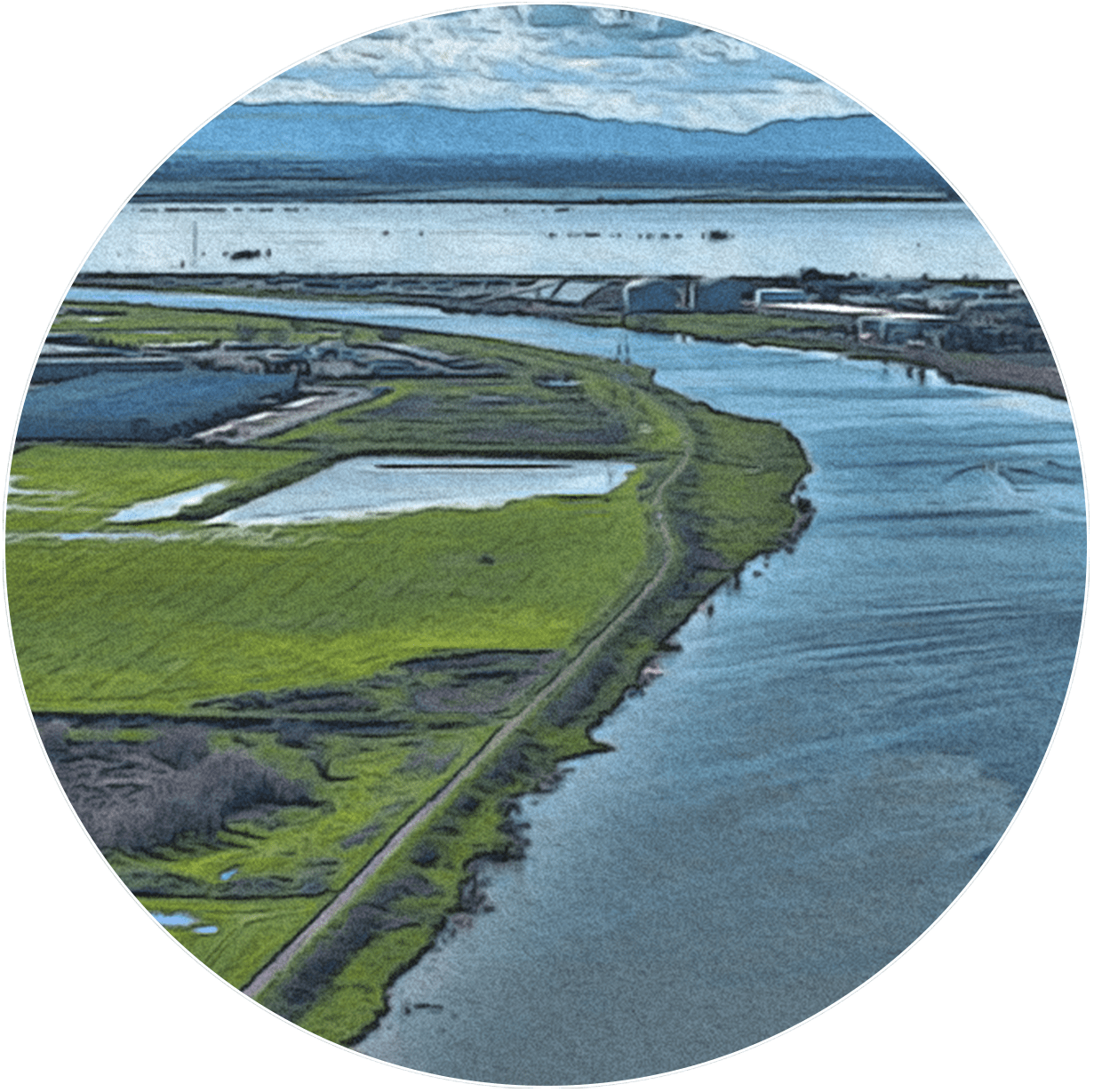
Subsided Lands
Tracks land area in the Estuary that has sunk below historical elevation levels and land management practices that reverse or halt the subsidence process
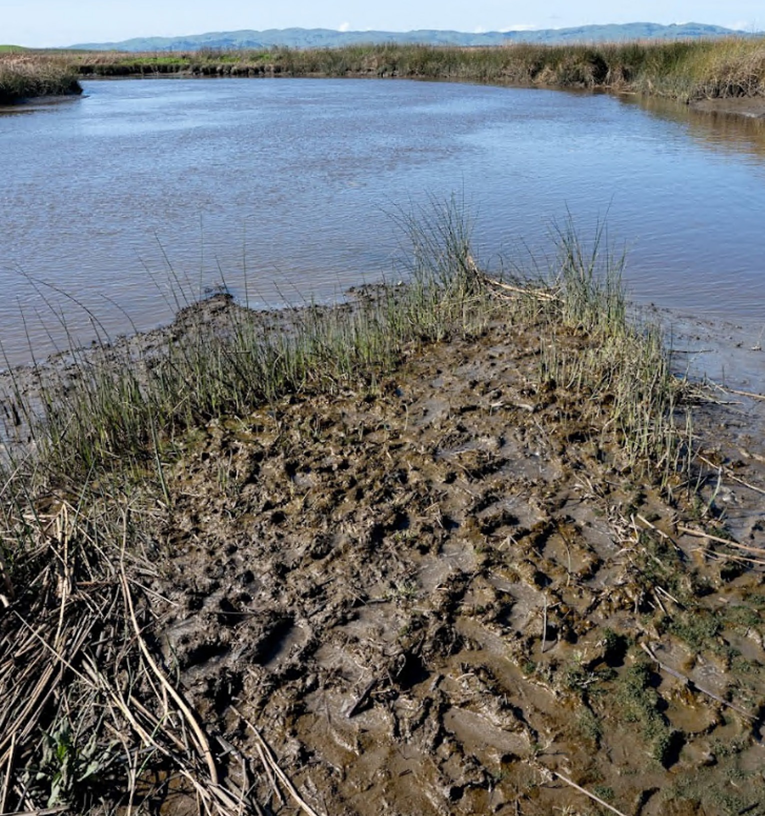
View of a mudflat in Suisun Marsh. Shira Bezalel, SFEI.
Contributing Scientists | Sediment
Emma Sevier, MS, San Francisco Estuary Institute
Lydia Vaughn, PhD, San Francisco Estuary Institute
Citations
- BCDC [San Francisco Bay Conservation and Development Commission]. 2025. “Bay Adapt Currents Dashboard.” https://app.powerbigov.us/view...
- USACE [U.S. Army Corps of Engineers], USEPA [U.S. Environmental Protection Agency], BCDC [San Francisco Bay Conservation and Development Commission], and SFBRWQCB [San Francisco Bay Regional Water Quality Control Board]. 2001. “Long-Term Management Strategy for the Placement of Dredged Material in the San Francisco Bay Region.” https://bcdc.ca.gov/programs/sediment-management/long-term-management-strategy/