
Resources
Peruse past State of Our Estuary reports, and learn more about partner efforts around the Estuary.

People enjoying a beach day at Chrissy Field in San Francisco. Shira Bezalel, SFEI.
Our Past Reports
The Status and Trend scorecard we see today began in earnest with the publication of the State of the San Francisco Bay in 2011, and has been updated about every four years since. From 2025 onwards, updates and additions to the indicators will be available online, and you can expect to see something new every year if you make a point to return.
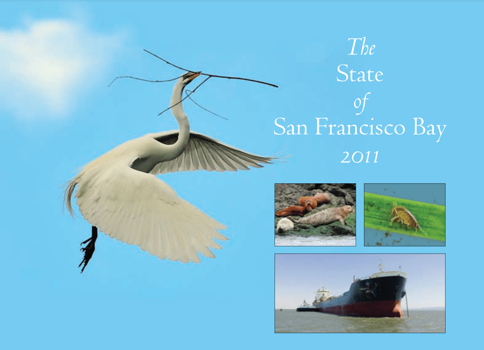
2011 Report
Built from the momentum of The Bay Institute’s Ecological Scorecard, the first San Francisco Estuary Partnership effort to document the Status and Trends for a suite of indicators in the San Francisco Bay Area.
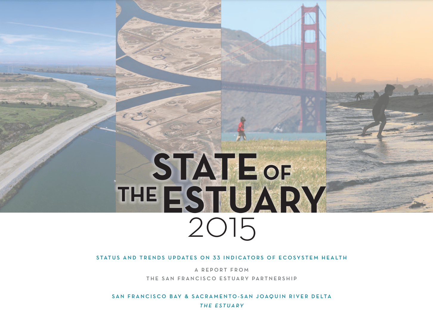
2015 Report
Reported Status and Trends for a suite of 33 indicators across the entire Estuary, including the San Francisco and Suisun Bays and the Sacramento and San Joaquin Delta.
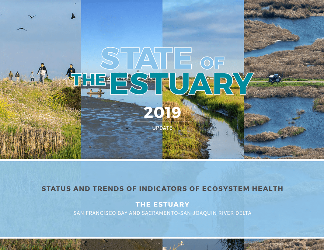
2019 Report
Updated the Status and Trends for five indicators across the Estuary: Freshwater Flow, Tidal Marsh, Fish, Beneficial Floods, and Urban Water Use.
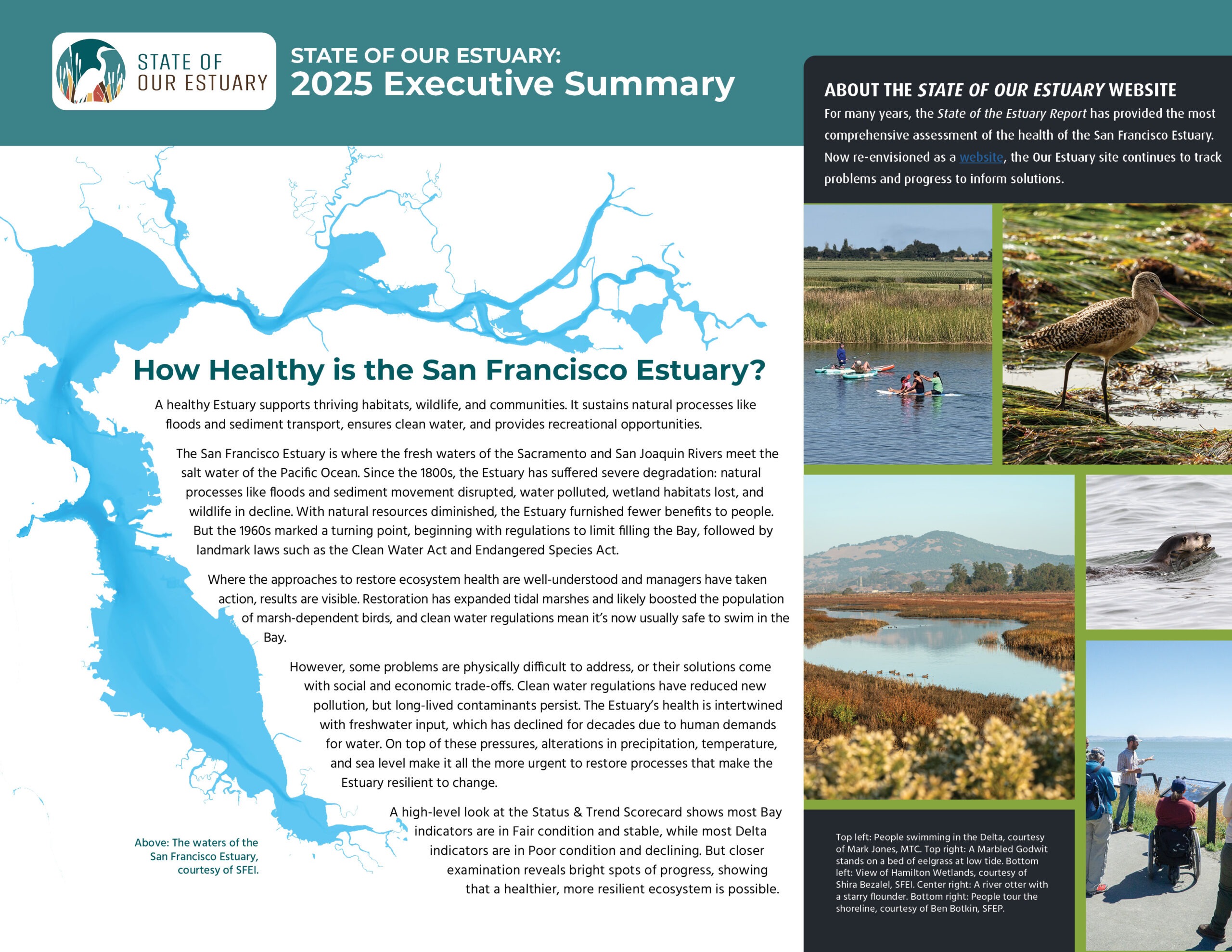
2025 Executive Summary
Provides a snapshot of status and trend scores from this website, as summarized in 2025.
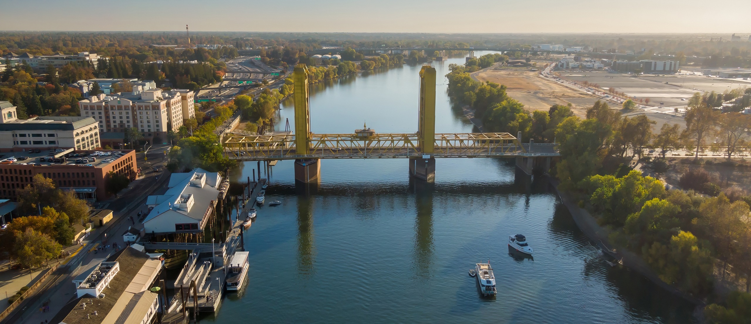
Aerial view of the Sacramento River with the iconic Tower Bridge, boats on the water, and the city skyline shining on a sunny day in Sacramento, California.
Great Data Starts with Great Partners
The State of Our Estuary brings together and analyzes data collected by other efforts and organizations. We do not conduct any independent monitoring or data collection. The value of Our Estuary is in its holistic look at the health of the Estuary across many indicators. This requires collaboration among dozens of scientists, managers, and practitioners.
Our effort would not be possible without the robust scientific community in the Estuary. While Our Estuary is the only regional effort of its kind to report Status and Trend scores for indicators, the Library of Resources below links to many of the organizations and efforts that contribute to or complement this effort. Some of the indicators here use the same data and similar analyses as other efforts, while some tackle the same subject matter but use complementary datasets and analytical approaches.
For example:
-
- Our Shorebird, Waterfowl, and Tidal Marsh Bird indicators derive from the same datasets reported in the San Francisco Bay State of the Birds, but the analyses are approached differently.
- In contrast, the Subsided Lands indicator tracks the area of subsided lands in the Bay, while the partner effort known as the Baylands Resilience Framework estimates subsidence volume and depth at the management unit scale. Both measures are informative, so we purposefully developed our Subsided Lands indicator to complement partner efforts.
Where Our Estuary indicators connect to other efforts, we show those connections on the indicator pages through links to the Library of Resources.

Library of Resources
This library of resources highlights some of our partner efforts in the Estuary. Take a deep dive into the Estuary and explore the great science, management, and restoration work of our friends.
Click resources to read more
- Bay Regional Monitoring Program for Water Quality
- Baylands Ecosystem Habitat Goals
- Baylands Resilience Framework
- Delta Regional Monitoring Program
- Delta Stewardship Council
- EcoAtlas and Project Tracker
- Fish Advisories: California Office of Environmental Health Hazard Assessment
- Heal the Bay
- Interagency Ecological Program
- Nutrient Management Strategy
- Recovery Plan for Tidal Marsh Ecosystems of Northern and Central California
- San Francisco Bay Conservation and Development Commission
- San Francisco Bay Joint Venture
- San Francisco Bay Restoration Authority
- San Francisco Bay Subtidal Habitat Goals Report
- San Francisco Estuary Blueprint
- South Bay Salt Pond Restoration Project
- Wetlands Regional Monitoring Program
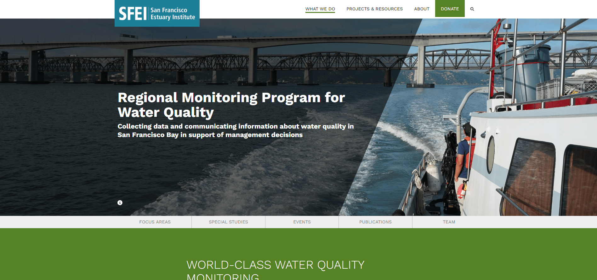
Bay Regional Monitoring Program for Water Quality
Created by the San Francisco Bay Regional Water Quality Control Board to ensure that sound science guides water quality management decisions and investments in San Francisco Bay.
Key Resources:
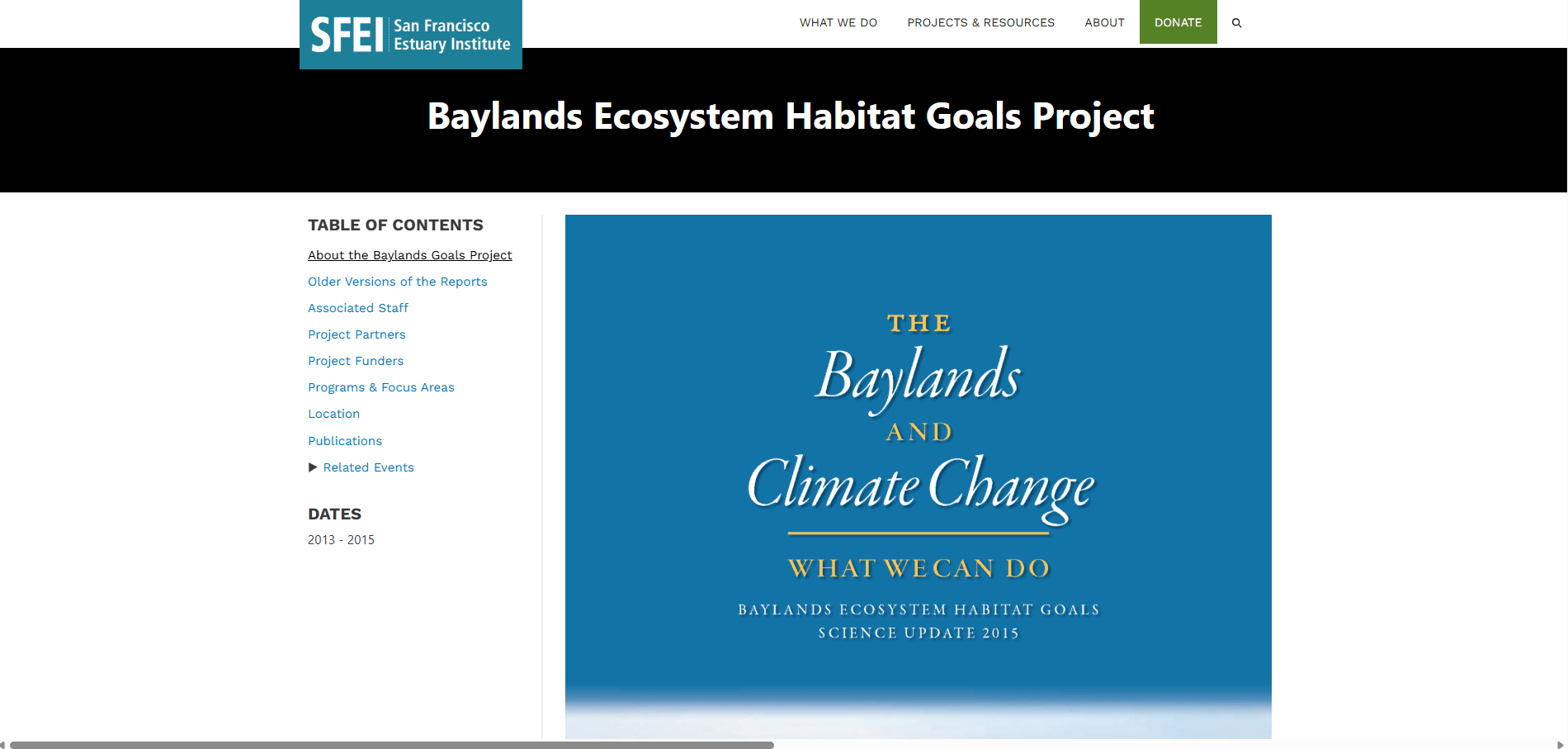
Baylands Ecosystem Habitat Goals
Key Resources:
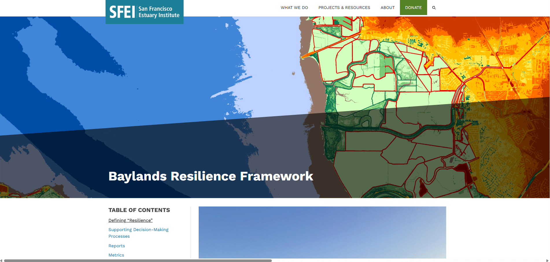
Baylands Resilience Framework
Builds from the San Francisco Bay Shoreline Adaptation Atlas to create tools and metrics as a starting point for site design and planning to inform targeted resilience restoration projects in the Bay.
Key Resources:
Delta Regional Monitoring Program
Key Resources:
Delta Stewardship Council
Advances California’s coequal goals of a more reliable statewide water supply and a healthy and protected ecosystem in the Delta.
Key Resources:
EcoAtlas and Project Tracker
Key Resources:
Fish Advisories: California Office of Environmental Health Hazard Assessment
Key Resources:
Heal the Bay
Santa Monica based non-profit dedicated to making the coastal waters and watersheds in Greater Los Angeles safe, healthy, and clean.
Key Resources:
Interagency Ecological Program
Provides and integrates relevant and timely ecological information for management of the San Francisco Bay‐Delta ecosystem and the water that flows through it.
Key Resources:
Nutrient Management Strategy
Key Resources:
Recovery Plan for Tidal Marsh Ecosystems of Northern and Central California
United States Fish and Wildlife Recovery Plan that recommends actions to restore healthy tidal marsh ecosystems, with the goal of species recovery for 17 imperiled species, six of which are endangered.
Key Resources:
San Francisco Bay Conservation and Development Commission
Founded in 1965, protects and enhances San Francisco Bay and advances the Bay’s responsible and productive uses today and for generations to come.
Key Resources:
San Francisco Bay Joint Venture
Key Resources:
San Francisco Bay Restoration Authority
A regional agency responsible for allocating Measure AA parcel tax funds to shoreline projects to protect, restore, and enhance the San Francisco Bay.
Key Resources:
San Francisco Bay Subtidal Habitat Goals Report
Provides the basic information necessary to plan conservation, restoration, research, and protection activities related to subtidal habitat in the San Francisco Estuary.
Key Resources:
San Francisco Estuary Blueprint
Key Resources:
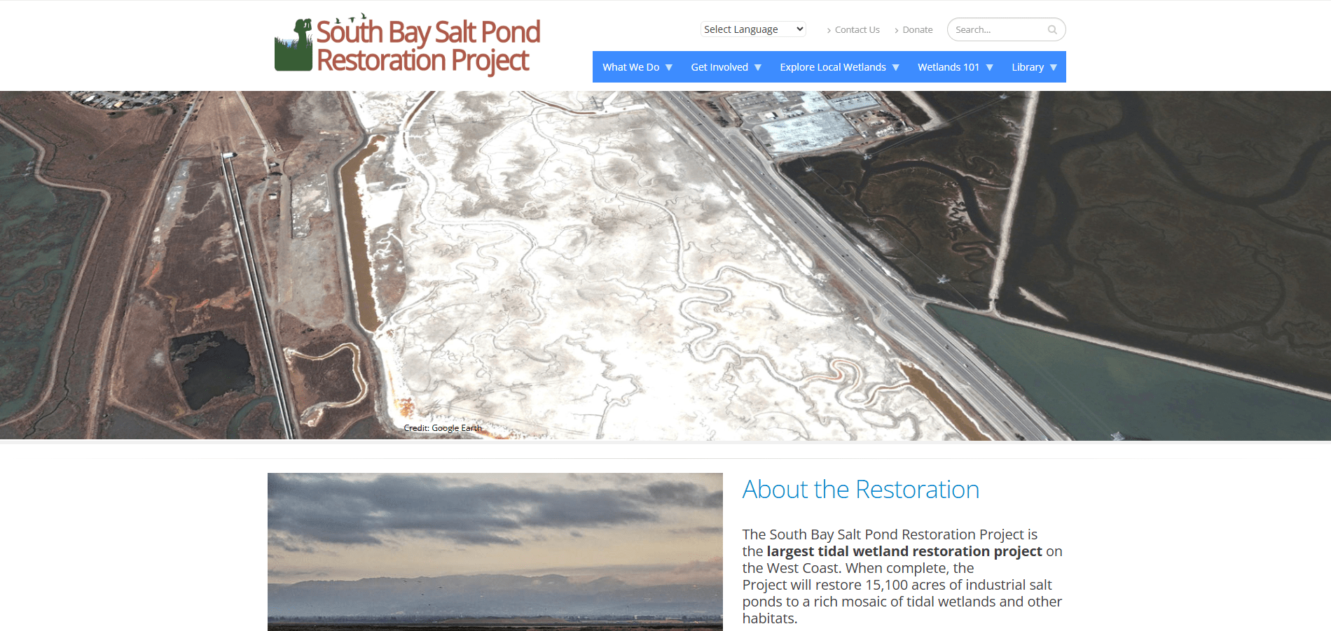
South Bay Salt Pond Restoration Project
Largest tidal wetland restoration project on the United States West Coast, with a goal of restoring 15,100 acres of industrial salt ponds to tidal wetlands and other habitats.
Key Resources:
Wetlands Regional Monitoring Program
Coordinated regional monitoring of the San Francisco Estuary’s wetlands to inform science-based decision-making for wetland restoration and adaptive management and to increase the cost-effectiveness of permit-driven monitoring associated with wetland restoration projects.
Key Resources: