
What is the Estuary?
The San Francisco Estuary is where the fresh waters of the Sacramento and San Joaquin Rivers meet the salt water of the Pacific Ocean. Hundreds of miles of coastline weave through the Delta region in the Central Valley, wind through the Suisun Marsh, and merge into San Francisco Bay.

Aerial view of the Petaluma River flowing into San Pablo Bay. Mark Jones, MTC.
Historical Change
Today, the San Francisco Estuary and the twelve surrounding counties are home to more than 10 million people who flock to the region to enjoy the economic, cultural, and recreational benefits of living near the water. While the ecosystem has been degraded, it still provides habitat for native species, clean water for 27 million people, and shorelines that can help buffer inland communities from rising seas.

Meanders of the San Joaquin are seen in this engraving titled “Night scene on the San Joaquin River – Monte Diablo in the distance” (Hutchings 1862).
The health of the San Francisco Estuary is inseparable from the health of our communities—when the estuary thrives, so do the people who live, work, and play along its shores. Protecting and restoring the Estuary is not optional; it is essential to our collective survival and well-being.
Ecology of the Estuary
The waters of the Estuary begin in the inland reaches of the Delta as nearly fresh, with little tidal action. The saltiness of the water and the magnitude of the tides increase with proximity to the ocean.
Estuaries are some of the most productive ecosystems on Earth. The influxes of nutrients from the ocean, rivers, and floodplains, combined with an abundance of water, support a food web that includes all kinds of life, from plants and algae to shellfish, fish, birds, marine mammals, and humans.
Historically, the Estuary was surrounded by approximately 650,000 acres of wetlands, but only 10% of that remains–the rest were diked and drained to make room for cities and farms. Reduced freshwater flow into the Delta means that even floodplains that are connected to river channels rarely fill.
Loss of wetlands, reduced freshwater input, pollution, changing precipitation patterns, and invasive species are just some of the challenges that the flora and fauna of the Estuary contend with. All of these challenges are likely to be exacerbated by sea level rise and extreme weather.
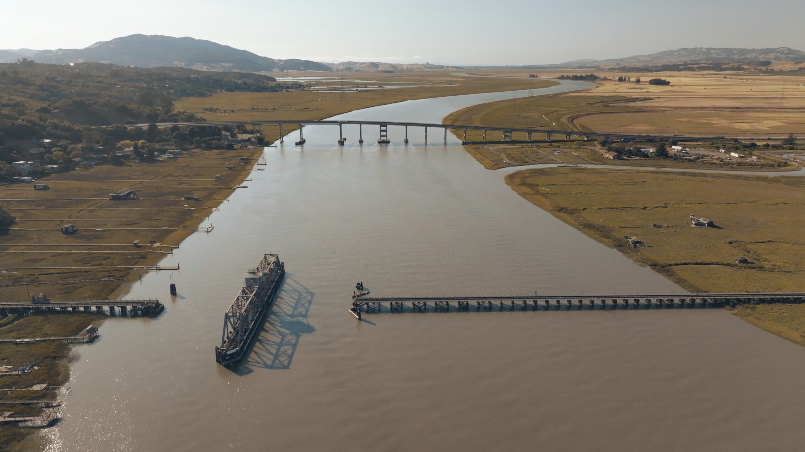
View of the mouth of the Petaluma River. Mark Jones, MTC.
Geography of the Estuary
Scientists also differ on the exact boundaries between the North, Central, and South Bays. The North Bay generally aligns with the area designated as San Pablo Bay on the map. The location of the northern boundary of the South Bay varies quite a bit by researcher, but is typically in the vicinity of the San Mateo and Dumbarton bridges.

Map of the San Francisco Estuary, SFEP.