
Open Water Habitat
Measures the net downstream flows through the Delta and the presence of low-salinity habitat in Suisun and San Pablo Bays

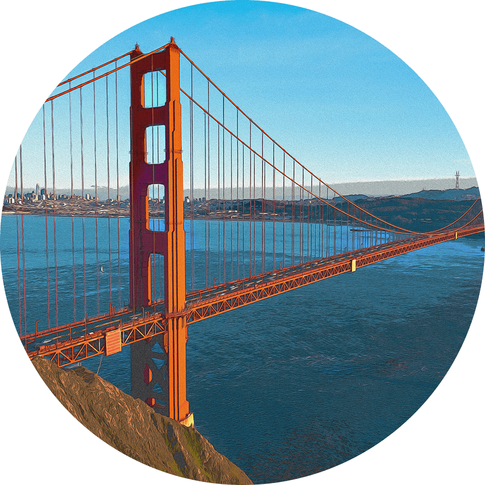
Golden Gate Bridge. Shira Bezalal, SFEI.
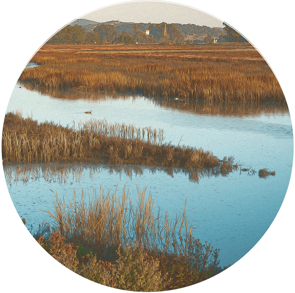
Juvenile Fish and Invertebrates Thrive in Open Water Habitat
Climatic variation and water management affect the condition of open water habitat. High freshwater inflow and low water diversions bring low-saline water to prime open water habitat in Suisun and San Pablo Bays, supporting juvenile fish and invertebrates that power the Delta food web. When inflows drop and diversions rise, flows along the San Joaquin River reverse, pulling organisms toward the Delta pumps.
Open Water Habitat
Status & Trend
Latest Update: October 2025
Full read
Open Water Habitat in Depth
The San Francisco Estuary is defined by fresh water flowing from its tributary rivers, mixing with saltwater from the ocean. Net downstream flows through the Delta and brackish, low-salinity waters in Suisun Bay are critical features of the Estuary’s open water habitats. These conditions protect resident and migratory fishes, as well as planktonic food organisms, from being lethally drawn into the Delta water export facilities. They also support food production and survival of many native fish and invertebrates.
Historically, water from the Estuary’s watershed flowed downstream through the Delta into Suisun Bay, where it created large expanses of low-salinity habitat. In modern times, the construction of large dams in the Estuary’s watershed reduced inflows, and water exports to the state and federal water projects altered flow patterns. This has caused frequent reverse flows in the Delta and reduced the extent and quality of low-salinity habitat in Suisun and San Pablo Bays. Since 1985, the average annual flow in the Delta has been reversed, flowing toward export pumps in 25% of years, and good-quality, low-salinity habitat in Suisun and San Pablo Bays has occurred in fewer than 30% of years.
Decades of research have shown that reduced freshwater inflows and increased water diversions harmed open water habitats in the upper Estuary. In response, state and federal agencies have set standards and regulations to boost inflows and limit Delta diversions. Despite these efforts, Open Water Habitat conditions remain Poor. With ongoing pressure on the Estuary’s water resources, managing the Estuary to improve Open Water Habitat conditions remains a serious challenge.
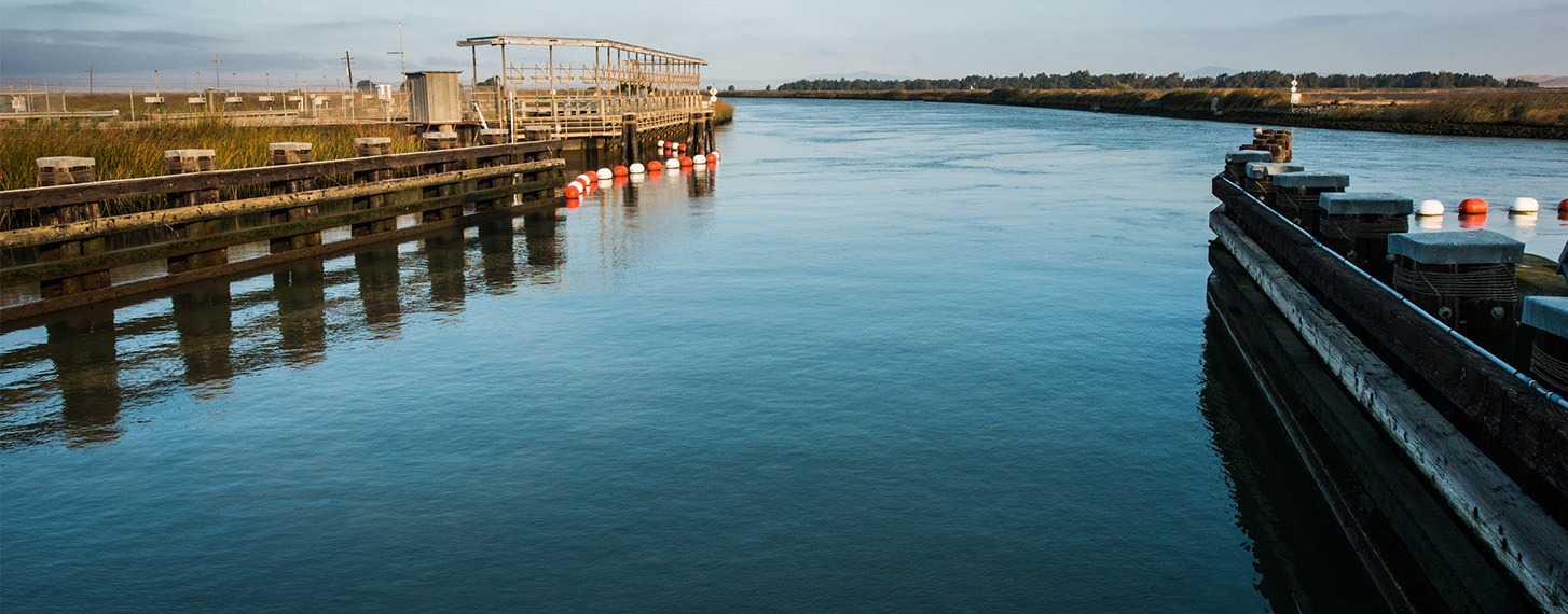
The Suisun Marsh Salinity Control Gates at Montezuma Slough. Florence Low, California Department of Water Resources.

How was this Indicator Calculated?
Data Used
California Department of Water Resources Dayflow model for daily freshwater flows into and through the Delta (DWR 2024).
Indicator Approach
- For the Delta, we measured the net downstream flow through the Delta, which is affected by both inflows and water diversion rates at the Delta water export facilities. We used QWEST, which is the estimated net flow in the San Joaquin River at Jersey Point, located in the western Delta.
- In the Bay, we measured the occurrence and extent of low-salinity habitat in Suisun and San Pablo Bays. We used X2 data, which represents the linear distance in kilometers upstream from the Golden Gate of the 2 ppt isohaline, and it is calculated as a function of Delta outflow (or Bay inflow) from equations published in Jassby et al. (1995).
Benchmarks and Scoring
For each indicator, we assessed metrics for frequency, magnitude, and duration of the relevant variable flow. We scored the values numerically on a scale from 0-4 relative to benchmark values that we established based on review and analysis of five types of data:
- Actual and unimpaired flow data (see the Freshwater Flow Indicator).
- Biological information on the relationship between low-salinity habitat and the population abundance of fish and invertebrates.
- Contra Costa Water District (CCWD) Flow Index for Old and Middle Rivers.
- Measured and modeled fish entrainment rates of the water export facilities (CCWD 2012).
- State Water Resource Control Board (SWRCB) regulatory flow criteria for San Joaquin River inflows (SWRCB 2006).
We calculated the Bay and Delta Open Water Habitat indices as the average of the numeric scores for each of their three metric components. Status scores were based on a five-point scale from 0-4, with scores under 2 considered Poor; under 3 as Fair; and 3-4 as Good. Trend scores were determined by simple regression on the decadal average Open Water Habitat index scores.
Technical Appendix
Download PDF
Related Indicators
Quality Habitat Category

Eelgrass
Tracks the area of the most common type of native underwater plant in the San Francisco Bay (Under development)
Tidal Marsh
Measures the extent of tidal marsh, including tidal marsh restoration projects, in the Estuary
Woody Riparian
Measures changes in the area and width of woody streamside vegetation in the Sacramento-San Joaquin Delta (Under development)
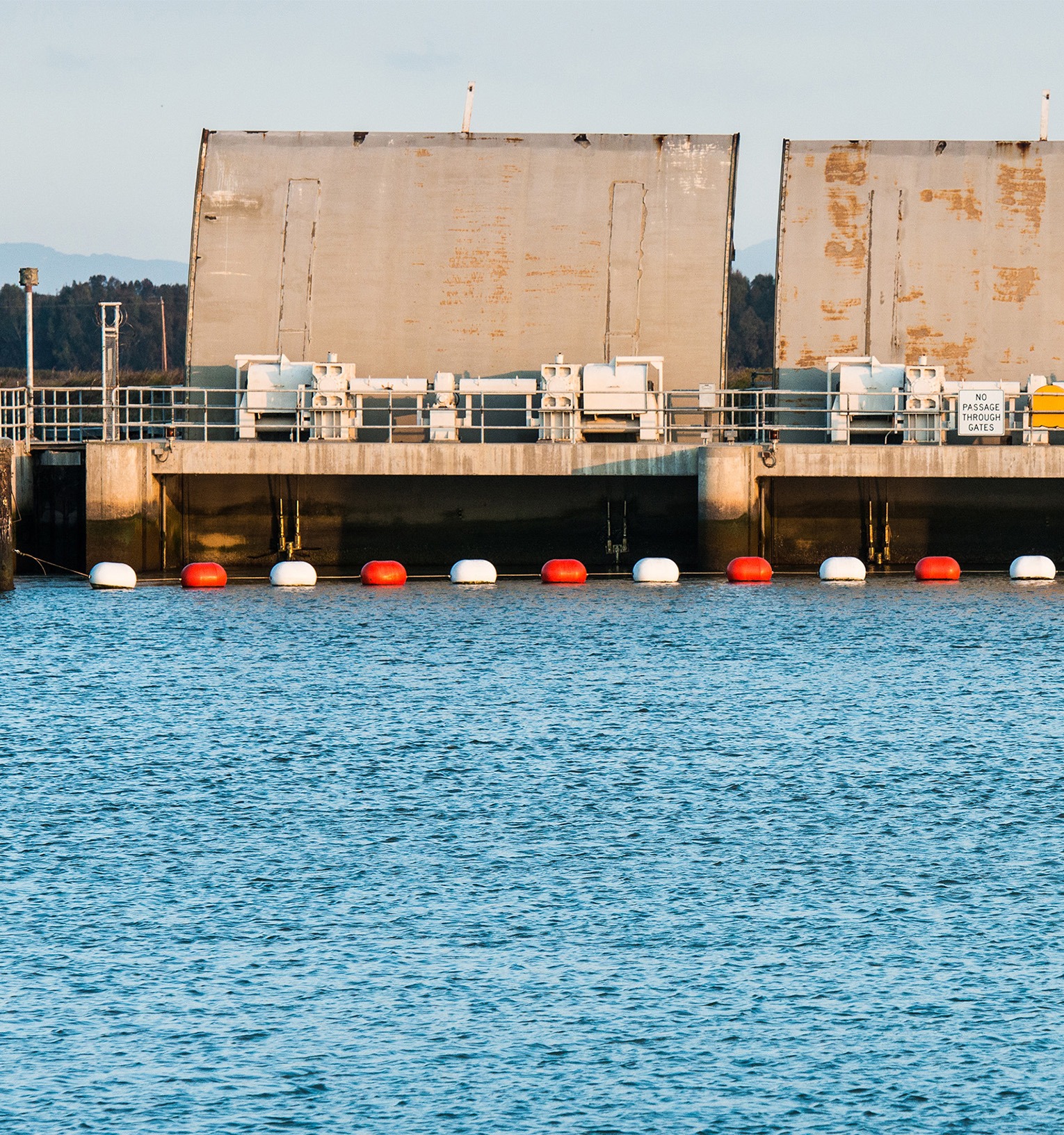
The Suisun Marsh Salinity Control Gates maintain proper salinity levels in the Suisun Marsh during periods of low Delta outflow. Florence Low, California Department of Water Resources.
Contributing Scientists | Open Water Habitat
Christina Swanson, PhD
Citations
- DWR [California Department of Water Resources]. 2024. “Dayflow.” https://water.ca.gov/Programs/Integrated-Science-and-Engineering/Compliance-Monitoring-And-Assessment/Dayflow-Data
- CCWD [Contra Costa Water District]. 2012. “Use of an Index for Old and Middle River Flow Objectives.” Submitted to the State Water Resources Control Board for Their Comprehensive (Phase 2) Review and Update to the Bay-Delta Plan, Workshop 2: Bay-Delta Fishery Resources. http://www.waterboards.ca.gov/waterrights/water_issues/programs/bay_delta/cmnt091412.shtml
- Jassby, A. D., Kimmerer, W. J., Monismith, S. G., Armour, C., Cloern, J. E., Powell, T. M., Schubel, J. R., and Vendlinski, T. J. 1995.
Isohaline Position as a Habitat Indicator for Estuarine Populations. Ecological Applications, 5, 272–289. - SWRCB [State Water Resources Control Board]. 2006. “Water Quality Control Plan for the San Francisco Bay/Sacramento-San Joaquin Delta Estuary.” http://www.waterboards.ca.gov/waterrights/water_issues/programs/bay_delta/wq_control_plans/2006wqcp/